|
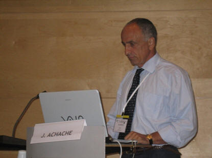
Report TC-I The day before, the 3rd of July, 30 students and professionals attended to one tutorial on "Information extraction, with emphasis on DSM generation, from high resolution optical satellite sensors". During the Symposium ten exhibitors presented their products and services. The title of the Symposium "From Sensors to Imagery" reflected the topics addressed during the 3 days. As said by José Achache, Director of the GEO Secretariat, one of the keynote speakers, useful information to understand the "Earth System" could only be derived from many spaceborne, airborne or terrestrial sensors and platforms. This means that calibration, sensor network, data fusion and integration, information extraction is all very important issues as confirmed in several presented papers.
Figure: José Achache, Director of the GEO Secretariat, addressing his keynote speech during the Plenary Session |
|
|
|
|