|
Report on the Workshop "3D Remote Sensing in Forestry" Vienna, Austria, 14-15 February 2006 By Werner Schneider The workshop "3D Remote Sensing in Forestry" was held in Vienna, Austria, on 14-15 February 2006. It aimed at dealing with all aspects of remote sensing in forestry where the 3-dimensional structure of forests is the object of study or is of major importance in the course of the analysis. The event was initiated by the EARSeL Special Interest Group "Forestry" and co-sponsored by ISPRS WG VIII/11. The interest in this workshop exceeded all expectations. Seventy-seven papers were submitted. Forty-four were accepted for oral presentations and 27 for poster presentations. The number of participants had to be limited to 150 for organisational reasons. The programme was organised in 12 oral sessions and a poster session. Invited speakers gave reviews of the topics of the workshop: The chairperson of ISPRS WG VIII/11 Professor Barbara Koch discussed "3D data for forest- and environmental planning", Professor Juha Hyyppä, FGI, Finland, summarised "Methods of airborne laser scanning for forest information retrieval", Dr Andres Kuusk from Tartu Observatory, Estonia, gave an overview of "Radiative transfer in a forest", and Professor Benoît St-Onge, University of Quebec, reviewed "High spatial resolution imagery for forest mapping, accomplishments and challenges". Major issues of the contributions can be summarised as follows: A number of presentations dealt with the analysis of high-spatial-resolution reflectance images for the identification of individual trees and for species determination. Algorithms for single tree detection and tree size and distribution estimation (segmentation, geometric-optical forest models, template matching etc.) were presented. Successful results from stereo-photogrammetric image matching software for forest canopy modelling were demonstrated. Airborne laser scanning was represented with the largest number of contributions. Topics were the influence of flying parameters on forest information derived from airborne laser scanner data, and methods of extraction of forest attributes, such as algorithms for single tree detection and tree size and distribution estimation (segmentation, template matching etc.), algorithms for automatic forest stand delineation, LAI determination from laser scanner data etc. Special attention was paid to full waveform analysis: Available instruments were reviewed, and algorithms for analysis (including feature extraction from the full waveform) were discussed. An application of ICESat data for detecting forest changes was presented. One session also dealt with terrestrial laser scanning for the automatic determination of forest inventory parameters. Another very topical subject was forest canopy height determination with interferometric SAR, based either on multi-frequency interferometry (e.g. P-band for terrain modelling, X-band for canopy surface modelling) or on volume decorrelation. The influence of flight parameters and interferometric processing on the accuracy of forest canopy height was discussed. Forest parameters thus obtained were compared with those from laser scanning. The contributions on modelling of the reflectance of forests paid special attention to directional effects (BRDF). Forest classification from three-line-stereo-scanner data was presented. LAI estimation from hyperspectral data by inversion of forest reflectance models was discussed. Synergistic effects from the combined use of airborne laser scanning (mainly to obtain digital terrain models) and of stereo-photogrammetry (mainly to obtain digital canopy surface models) were exploited for the extraction of tree height and stand height. Laser scanner data were also combined with multispectral/hyperspectral images for the extraction of tree species. The contributions on applications of forest 3D information from remote sensing dealt with the extraction of forest parameters for various special purposes such as forest growth estimation, forest ecology (e.g. study of canopy gap dynamics), nature conservation issues, alpine hazard assessment, and hydrodynamic modelling (floodplain forests). In addition to the scientific sessions, five companies presented their products and services (laser scanning and digital aerial photography) in an exhibition. The contributions to the workshop are published on the web-site www.rali.boku.ac.at/3drsforestry.html. Both full papers and slide presentations are available for most contributions. The selection of outstanding papers to be published in reviewed journals is still under way.
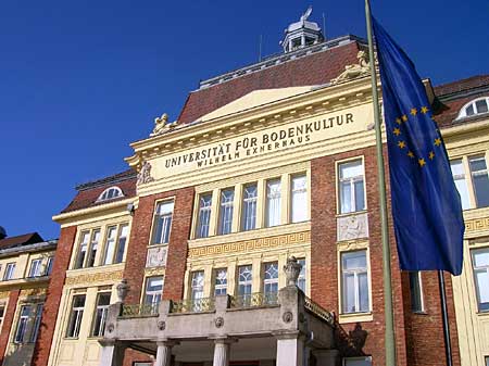
Picture 1: Workshop venue
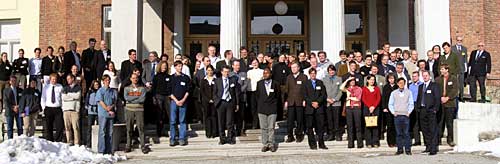
Picture 2: Workshop delegates
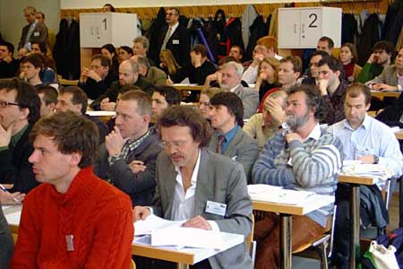
Picture 3: Scientific session
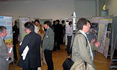
Picture 4: Poster session and company exhibition
Picture 5: Members of the scientific committee relaxing at the conference dinner
Picture6. "Aerial photo" of discussions |
|
|
|
|