|
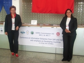
JOINT MEETING OF ISPRS COMMISSION VII by Dr. Çiğdem GÖKSEL & Dr. Fusun BALIK ŞANLI The group meeting of ISPRS Comission VII, WG 7 & 2 was carried out for 2 and a half days with scientific exchange of the ideas. We had 2 plenary sessions with four keynote speakers and five technical sessions with well attendance. |
|
|
|
|
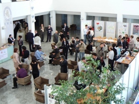 On the first day we welcomed about 100 participants. The participants were from Turkey, Germany, Pakistan, Malaysia, the Netherlands Japan, Iran and Canada. On behalf of Istanbul Technical University (ITU), the rector and the dean of Civil Engineering Faculty made their opening speeches, briefly introducing the University, the role of the university in science and engineering, and education perspectives. On behalf of the other hosting university, the head of Photogrammetry and Remote Sensing Division of Civil Engineering Faculty of Yildiz Technical University made his opening speech. Finally the head of the Remote Sensing Division, Geodesy and Photogrammetry Engineering Department ITU made his opening speech, summarizing departmental activities in the remote sensing area. The honorary speakers encouraged scientific knowledge share between the contributors and wished a pleasant meeting and a stay in Istanbul to all who attended the workshop.
 As the keynote speaker of the opening session, Prof. Dr. Orhan Altan secretary General of ISPRS reviewed the Role of Remote Sensing and introduced the modern techniques emerging and showed how remote sensing could be employed for the benefit of societies.
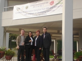 In the first technical session, the role of SAR and InSAR in deformation monitoring and earth quake research was reviewed with 6 presentations. Then a poster session was held. There, various uses of Remote Sensing Technique such as determining tobacco planted areas, urban monitoring, visual image interpretation, geomorphometric analysis and etc. was included.
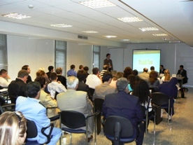 In the third technical session, image and data fusion techniques were discussed with 4 presentations. The contribution on various areas such as soil moisture estimation detecting and monitoring illegal logging and tropical rain forest encroachment from both optical and SAR data, and others were presented.