Meet the speakers

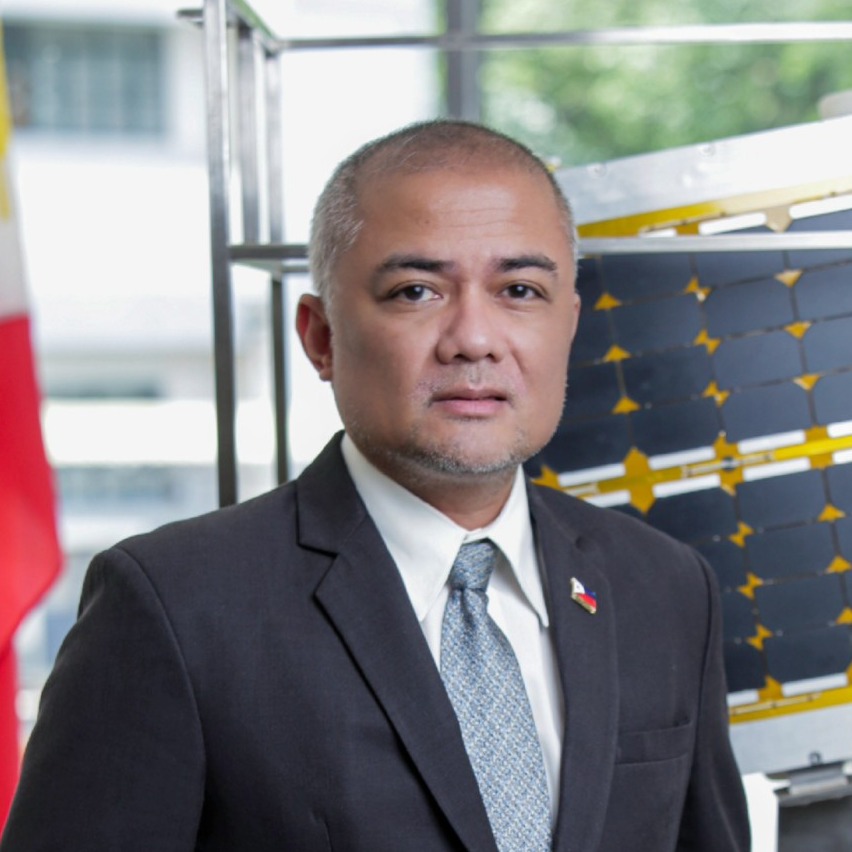
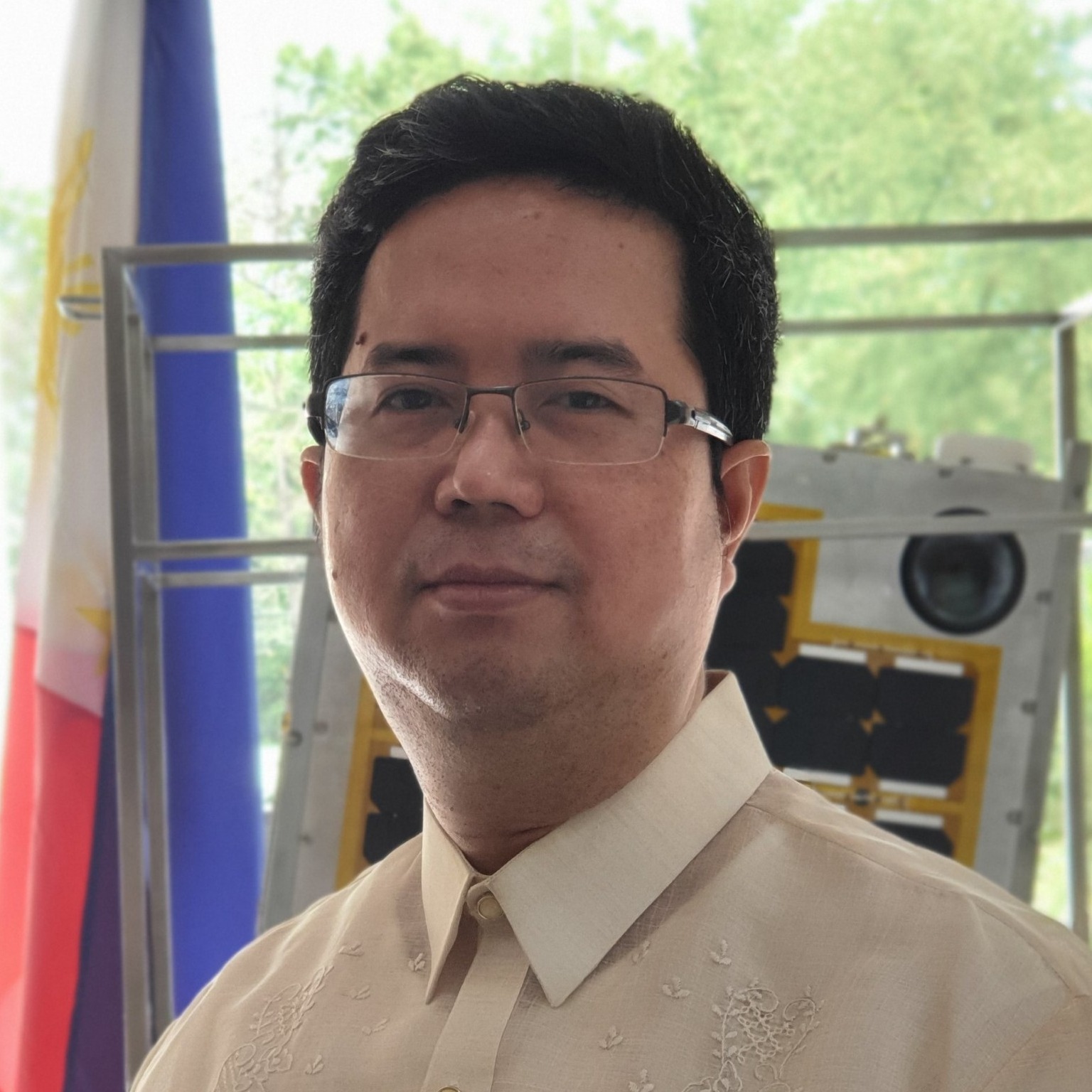
Joel Joseph S. Marciano Jr., Ph.D.

Director General, Philippine Space Agency

Dr. Lena Halounová

President, International Society for Photogrammetry and Remote Sensing (ISPRS) 

Gay Jane Perez, Ph.D.

Deputy Director General for Space Science and Technology, Philippine Space Agency

Dr. Derek Lichti

Congress Director, International Society for Photogrammetry and Remote Sensing (ISPRS) 

Prof. Dr.-Ing. habil. Christian Heipke

Professor, Leibniz Universität Hannover

Dr. Benjamin Koetz

 Head, Long-term Action Section in the Earth Observation Directorate of the European Space Agency

Dr. Czar Jakiri Sarmiento

Deputy Executive Director, University of the Philippines National Engineering Center

Siriluk Prukpitikul, Ph.D.  

Deputy Executive Director, Geo-Informatics and Space Technology Development Agency (GISTDA)

Ariel C. Blanco, Dr. Engr.

Director IV, Philippine Space Agency

Dr.  Leong Keong Kwoh

Centre for Remote Imaging, Sensing and Processing (CRISP)

Dr. S.P. Aggarwal

Director, North Eastern Space Applications Centre (NESAC)

Prof. Kohei Cho

Professor, Tokai University Research & Information Center (TRIC)

Dr. Mahar Lagmay

Executive Director, University of the Philippines Resilience Institute 

Mr. Hamamoto Ko

Associate Senior Engineer, Japan Aerospace Exploration Agency (JAXA)

Ms. Mary Grace Gasco

 Founder and CEO, SpaceCrop Technologies

About ISPRS TC V Symposium 2024

The Philippines will host the International Society for Photogrammetry and Remote Sensing (ISPRS) Technical Commission V (TC V) Symposium with the theme "Insight to Foresight via Geospatial Technologies" from 06 to 08 August 2024 in Manila, Philippines.

A three-day event featuring plenary and parallel sessions, exhibits, poster presentations, tutorials, and a summer school, the event aims to inspire new methods of teaching/learning, collaboration, and promotion of accessible and easy-to-use geospatial data among engage professionals, educators, and tertiary students.


Insight to Foresight via Geospatial Technologies

The symposium aims to tackle strategies in education and outreach that will ensure that systems, applications, and ​infrastructure in geospatial technology remains relevant, effective, and adaptable to emerging trends and ​advancements. By leveraging geospatial technology in this manner, organizations can transition from gaining insights ​into past and present into developing foresight capabilities. This transition enables proactive decision-making, improved ​risk management, and the development of strategies that are better aligned with future spatial trends and challenges.

The Symposium and its subevents aim to promote and inspire new methods of teaching/learning, collaboration, and easy accessibility and processing of geospatial data. It also seeks to provide an interdisciplinary platform for experts, practitioners, and researchers to present the latest developments and applications in remote sensing and cutting-edge technologies and at the same time, exchange research ideas, and promote international collaboration in the field of remote sensing and geospatial technology.