All contributions for oral and/or poster presentations shall cover any of the following topics:
1. Education and Training through Curricula Development and Enhanced Learning Practices
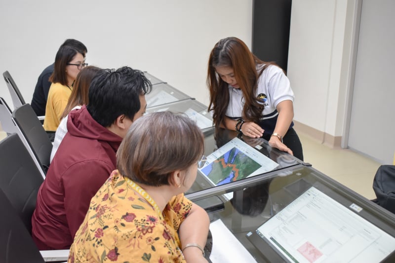
Methods for teaching and training in higher education has been continuously improving through the adaptation of more student-centered approach, focusing on active learning rather than on passive learning. We encourage presentations and papers that focus on various pedagogical styles and teaching methods that promote active learning. Considering the new technological trends, we are particularly interested in innovative ways of teaching and learning with technology such as virtual reality, augmented reality, mixed reality, 360 videos and more. Considering the educational changes and challenges brought by pandemics like COVID-19, contributions can also cover lessons learned from on-line, remote, and hybrid instruction modes. We also welcome contributions on experiential learning, and learning through internships, co-ops, and summer employment. Furthermore, considering the complex challenges of today and tomorrow and the need for a more equitable and just society, we welcome contributions that focus on teaching approaches that widen participation, increase accessibility, diversity, and inclusion. The changes brought by technological advancements continuously alter the way we acquire, process, interpret, and use geospatial datasets. As is done in many universities and institutions, we encourage presentations on review and evaluation/assessment of processes to modernize curriculum and pedagogical methods. We also welcome contributions on curriculum development and revisions needed to satisfy accreditation and/ or licensure and industry needs.
2. Development of Regional and International Training and Education Programs
There is a need to promote international as well as regional collaborative and innovative academic educational program. We encourage presentation of work that deals with the development of multi-level and cost-effective joint education initiatives, new curricula incorporating advanced technologies in photogrammetry and remote sensing, and innovative methods for inventory and evaluation of joint educational programs. Discussion on the applications of geospatial technologies for geodesy, photogrammetry, remote sensing and geoinformation sciences as well as on cultural heritage, climate change, risk of the emergencies, smart agriculture and precision farming are encouraged.
3. Open-Source Promotion and Web-based Resource Sharing
Open data and open-source software have emerged as the cornerstone of knowledge democratization. Open data initiatives advocate for the free availability and unrestricted use of geographic data, enabling its wide dissemination and reuse. By breaking down traditional barriers to information access, open data paves the way for enhanced reproducibility, collaboration, and innovation within academia. In the realm of geomatics, photogrammetry, remote sensing, and geoinformation, this session focuses on promoting the development of enhanced open-source software and geospatial technologies to advance improvements in the utilization of open data across academic and professional domains while raising awareness among stakeholders and public entities. We encourage contributions that would facilitate the promotion and exchange of experiences related to open-source development.
4. Promoting Education and Training on Disaster and Risk Management
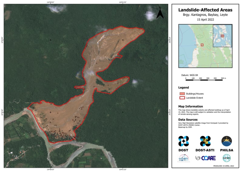
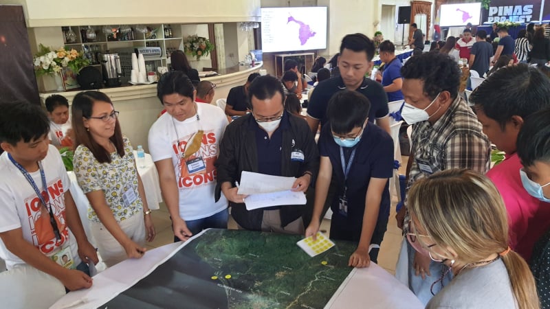
Geospatial technology provides a unique opportunity to significantly improve the way we prepare and respond to disasters leading to better disaster and risk management. Training and awareness in disaster and risk reduction is one of the most crucial components in disaster and risk management initiatives. This session aims to discuss in detail about the knowledge and skills necessary to promote effective disaster and risk management practices at community level. We welcome papers and contributions that focus on science and engineering interventions using geospatial technology as well as training and awareness generation in various aspects of disaster and risk management, including vulnerability assessment, early warning systems, emergency preparedness, and response strategies. This session will provide a platform for comprehensive understanding of these topics to empower individuals to become catalysts of change and advocates for disaster resilient communities. We also solicit contributions covering case studies and best practices in capacity building for administrators and educators in disaster risk management, mobile applications for disaster preparedness and response, effective communication of warnings, reliefs and evacuation procedures, and preparedness on psychological and emotional impact of disasters on communities.
5. Strengthening Awareness on Blue Economy and Coastal Marine Environment
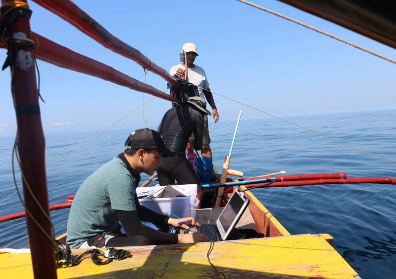
We invite researchers and experts to contribute and participate by submitting valuable results of their research and new insights in the domain of blue economy and coastal marine environment. We encourage submissions related to promoting geospatial science and technology to enhance initiatives in this field, including training courses and curriculum enhancements. Additionally, we welcome papers addressing the development of educational materials and capacity-building efforts in geospatial science and technology for blue economy and coastal marine environment. We also invite contributions on the crucial aspect of capacity building for citizen scientists and communities, as well as proposals for collaboration and networking activities to advance our shared objectives. Your participation and contribution will enrich our discussions and drive progress in this vital area.
6. Innovative Geospatial Technologies for Training in Applied and Natural Sciences
We invite contributions that explore and describe the convergence of geospatial technologies and building information modeling (BIM), along with its transformative impact on construction, infrastructure, and beyond. The goal is to bring together researchers, practitioners, and professionals to engage in interdisciplinary discussions on various themes such as the optimization of construction management through spatial data infrastructure and BIM, and the support provided by BIM and geospatial education for building life cycle sustainability. We also want contributions that explores the applications of geospatial technologies in facilities management, decision-making, and policy formulation and uncover the potential of Green BIM, integrated spatial data for smart buildings or digital twins, and the utilization of BIM with remote sensing for crisis management.
7. Education and Outreach on Spatial Information Science
We encourage contributions on the following topics: (a) overview of current academic and research activities in spatial information science education, mapping key advancements and challenges; (b) effective teaching methods using geospatial technologies that showcase best practices in spatial information science education; (c) strategies for integrating geospatial concepts into curricula, with case studies on successful regional development; and (d) design and implementation of short-term training programs for professionals, educators, and students, demonstrating their impact. We also welcome reports on (a) the adaptation of the latest spatial information science developments and emerging technologies; (b) the promotion and dissemination of new research outcomes, educational materials, and case studies, emphasizing their importance in advancing the field; (c) successful international collaboration models in spatial information science education, sharing web-based resources and collaborative platforms; (d) role of open-source software tools in spatial information science education and innovative methodologies for various applications; and (e) future trends in spatial information science education, anticipating challenges and opportunities in the field. Reports on programs that encourage and motivate young scientists in geospatial domain through initiatives, youth forums and mentorships, as well as effective collaborations among the geospatial stakeholders are also welcome.