The Board of Trustees comprises 11 persons, who are appointed by the ISPRS Council and ratified by the ISPRS General Assembly. Only two members of
the Board of Trustees may be members of the existing Council of ISPRS. Trustees are leaders in fields of the photogrammetry, remote sensing and spatial
information sciences who have significant knowledge and experience in the needs of industry and governments. Membership of the Board reflects the
international character and diversity of the Society. The ISPRS Foundation Trustees are:
![[Dr Senthil Kumar]](images/kumar.jpg)
Dr Senthil Kumar
(Operations officer)
Indian Institute of Remote Sensing
Indian Space Research Organisation
INDIA
![[Dr Shailesh Nayak]](images/nayak.jpg)
Dr Shailesh Nayak
Director, National Institute of Advanced Studies, Indian Institute of Science Campus
INDIA
![[Prof Dr Qihao Weng]](images/weng.jpg)
Prof Dr Qihao Weng
Chair Professor of Geomatics and Artificial Intelligence
Department of Land Surveying and Geo-Informatics
Hong Kong Polytechnic University
HONG KONG
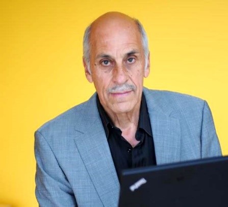 ISPRS Foundation Trustees
Dr Mario Hernandez
(Chair)
former United Nations, Switzerland
Mario Hernandez is from Mexico and has a PhD in mathematics. His professional career has been dedicated to satellite image processing (remote sensing), doing applied research on the use of space technologies for the monitoring of the environment and at a later stage for the monitoring, management and presentation of heritage sites.
Mario started working with IBM at the IBM Scientific Center for Latin America located in Mexico City. He then moved to IBM Europe (Paris) to coordinate a research group developing new hardware and software for digital image processing. At that time, research on digital image processing was an extremely innovative field.
Mario then joined the United Nations Environment Programme (UNEP) with headquarters in Nairobi, Kenya. Later on he was offered a post at the United Nations Educational Scientific and Cultural Organization (UNESCO) in Paris in order to manage, coordinate and to launch the European Space Agency (ESA) – UNESCO Open Initiative of the use of Space Technologies to support World Heritage sites. An impressive number of partners joined the ESA-UNESCO initiative, including space agencies, space research institutions and universities. Among these extraordinary partners, was University of Ghent (Belgium) and the Belgium Science Policy Office (BELSPO).
After retirement from the UN, Dr. Hernandez continues to work in partnerships with the space agencies and space research institutions supporting cultural heritage sites. He has a series of honorific titles and has published several papers.
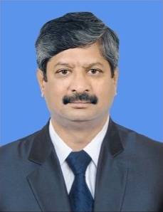 ISPRS Foundation Trustees
Dr Senthil Kumar
(Operations officer)
Indian Institute of Remote Sensing
Indian Space Research Organisation, India
Dr Kumar received his MSc (Eng.) and PhD in image processing in 1985 and 1990 respectively from the Indian Institute of Science, Bangalore, India. He joined the Indian Space Research Organisation (ISRO) in 1991, and since then has served in various capacities before superannuating as Director of Indian Institute of Remote Sensing (IIRS). He has also served as Director of UN-affiliated Centre for Space Science of Technology Education in Asia and the Pacific (CSSTEAP) for five years. During this tenure, he represented ISRO as a member and Chair of the CEOS Working Group on Capacity Development and as a member of the CEOS Working Group on Calibration-Validation. He served as President of ISPRS Technical Commission V on Education and Outreach from 2016 to 2022. He presently serves as chair of the ISPRS Financial Commission for the period 2022-2026. He has served as Associate Editor and as Executive Editor for the Journal of Indian Society of Remote Sensing for five years. He has published more than 115 peer-reviewed technical papers, co-edited two books and co-authored one book. In recognition of his contributions, he has been conferred with life-time achievement awards by the Asian Association of Remote Sensing (2019) and by the Indian Society of Remote Sensing (2018), as well as team awards for Chandrayaan-1 and Cartosat-1 missions by the ISRO. He was elected as a Fellow of the Indian Society of Remote Sensing in the year 2021.
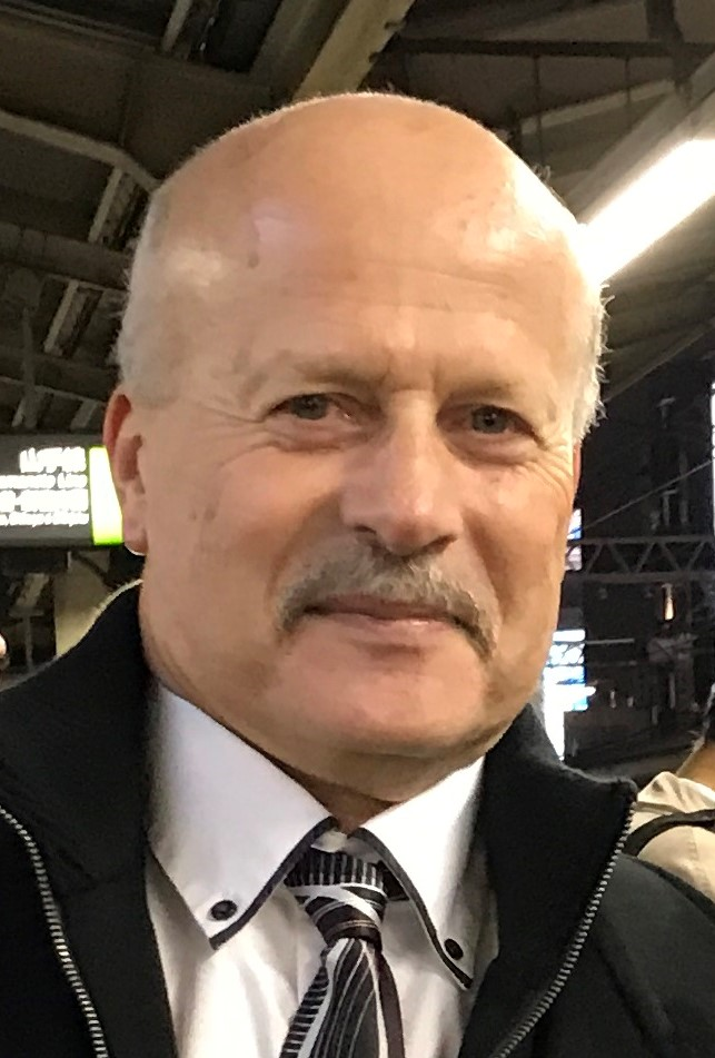 ISPRS Foundation Trustees
Jeffrey Yates
(Finance Officer)
DAT/EM Systems International, USA
Jeffrey Yates has a Bachelor of Science degree in land resources from Montana State University. Upon graduation Jeff worked as surveyor with the U.S. Forest Service in Montana and then with the U.S. Geological Survey in Denver on a nation-wide map digitizing project. In 1982 he ventured north to Alaska, where he became a stereoplotter operator and aerial camera operator for AeroMap U.S. In 1985 Jeff received his ASPRS Certified Photogrammetrist credential. In 1989 he was the co-coordinator for the project that enabled the first-ever GPS measurements on the summit of Denali (aka Mt. McKinley), Alaska. Also in 1989, he placed the first GPS receivers on Mt. Fuji, Japan, and in 1995 he participated in an expedition sponsored by National Geographic- to place the first GPS receivers on the summit of Mt. Everest, Nepal. Since 1995 Jeff has been General Manager of DAT/EM Systems International, a developer of digital mapping software, which is used by customers around the world. He is currently a member of the University of Alaska Anchorage (UAA) Geomatics Advisory Board (GAB) as well as being the Secretary/Treasurer for the Alaska Region of ASPRS.
 ISPRS Foundation Trustees
Ronald Bisio
Vice President
Geospatial at Trimble, USA
Ronald Bisio is Vice President, Geospatial at Trimble. He joined the company in 1996 and has held several marketing, sales and general management positions prior to taking over worldwide responsibility for Trimble's Surveying and Geospatial Division in 2015. He had previously held technical and marketing roles at Esri and Autodesk. He earned a master's degree in business administration from the University of Denver, a master's in regional planning from the University of Massachusetts in Amherst and an undergraduate degree in cartography from Salem State University in Salem, Mass.
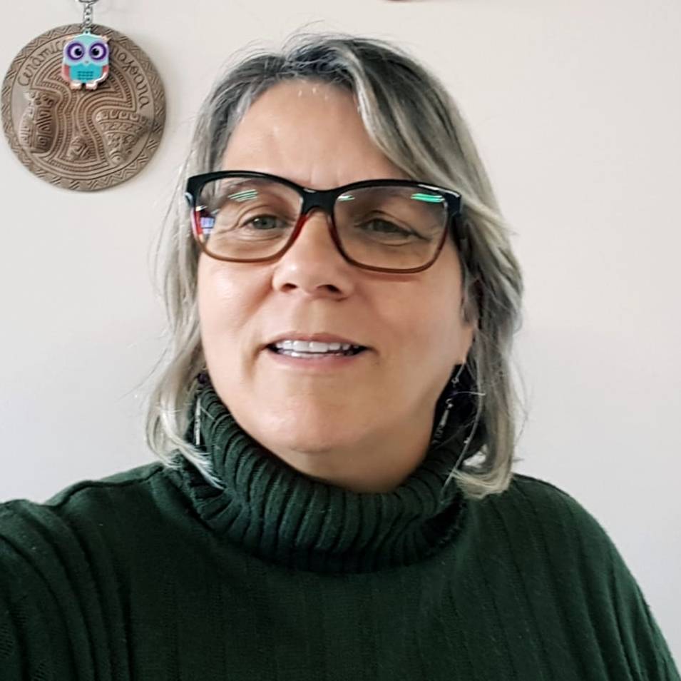 ISPRS Foundation Trustees
Prof Dr Sandra Maria Fonseca da Costa
Adjunct Professor
University of Vale do Paraíba (UNIVAP), São José dos Campos, Brazil
Sandra Maria Fonseca da Costa earned a BS in geography from the Federal University of Rio de Janeiro (1985), a MS in remote sensing from the National Institute for Space Research (INPE, also in São José dos Campos) (1989), and a PhD in spatial information from University of São Paulo (1996), with a sandwich internship at the University of New South Wales (1995). After a postdoctoral year at Indiana University (2007-2008), she specialized in urban and regional planning, working mainly in the areas of urban space, urban planning, geotechnologies, environmental degradation and urban growth. For more than 10 years, she has been focused on the study of small towns in the Amazon delta. She was vice-rector of UNIVAP during the period 2012-19.
 ISPRS Foundation Trustees
Prof Dr Lena Halounová
President ISPRS
Czech Technical University
Prague, Czech Republic
Since graduation from the Czech Technical University in Prague (Faculty of Civil Engineering), Lena Halounová remained within its walls during her Ph.D. at the Department of Hydrotechnics, and then moved to the Remote Sensing Laboratory of the Department of Mapping and Cartography, which she is heading today. In her research, Lena pays special attention to issues of using optical and SAR remote sensing data and GIS applications for solving problems of water engineering, erosion, reclamations, landslides, land subsidence, detection of vegetation in urban areas, change detection in urban areas, etc. Numerous works and publications of Lena Halounová as well as her lectures in Prague universities are dedicated to these topics.
Lena Halounová was deeply involved in EARSeL for 12 years in various positions including Chairperson. Along with being appointed the Chairperson of the Czech Society for Photogrammetry and Remote Sensing in 2004, Lena represented the Czech Republic, the ISPRS ordinary member, where she held the position of the Chairperson of the Financial Commission from 2008 to 2012. During the XXII ISPRS Congress in Melbourne, Lena was elected the Director of the 2016 ISPRS Congress, which was held in Prague, July 12-19. Since 2016 she served as ISPRS Secretary General for the next ISPRS inter-congresses periods. She was elected ISPRS President by General Assembly during the XXIV ISPRS Congress in Nice in June 2022.
 ISPRS Foundation Trustees
Lawrie Jordan
Director of Imagery for Esri, USA
Lawrie Jordan is Director of Imagery for Esri, as well as Special Assistant to Jack Dangermond, President of Esri. In this capacity, he serves as an advocate for successful applications of all forms of imagery within the GIS enterprise, including environmental, civil, defense and intelligence community solutions.
Mr. Jordan has over 30 years of experience as a leader in the field of image processing and remote sensing, including a long standing strategic partnership with Esri. He has been an advisor to numerous government organizations on current and future trends involving imagery and satellite programs. His background education is in Landscape Architecture, with degrees from The University of Georgia and Harvard University.
 ISPRS Foundation Trustees
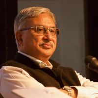
Dr Shailesh Nayak
Director, National Institute of Advanced Studies, Indian Institute of Science Campus, India
Dr. Shailesh Nayak is currently the Director, National Institute of Advanced Studies, Bengaluru. He obtained his PhD degree in Geology from the M.S University of Baroda in 1980. He was 'Distinguished Scientist' during 2015-18, Secretary, Ministry of Earth Sciences, during August 2007-2015 and provided leadership for programs related to earth system sciences. His current research interest includes building strategy for blue economy and sustainable development.
He set up the state-of-the-art tsunami warning system for the Indian Ocean in 2007 and provided tsunami advisories to the Indian Ocean rim countries. He has pioneered the development of algorithms and methodologies for the application of remote sensing to the coastal and marine environment, and generated the baseline database of the Indian coast, and developed services for fishery and ocean state forecast. This coastal database has formed basis for managing the Indian coast. He was instrumental in creating database of the glaciers of the Indian Himalaya.
He is Fellow of the Indian Academy of Sciences, Bengaluru, the National Academy of Sciences, India, Allahabad, Fellow of the International Society of Photogrammetry & Remote Sensing (ISPRS) and Academician of the International Academy of Astronautics (IAA). Currently, he is Regional Representative, Asia for ISPRS, Chancellor, TERI School of Advanced Studies, New Delhi and President, Federation of Indian Geoscientists Association. He was President, ISPRS Technical Commission IV on Geodata and Digital Mapping during 2004-2008 and President, International Geological Congress during 2015-17. He was conferred the prestigious ISC Vikram Sarabhai Memorial Award 2012 as well as Bhaskara Award for 2009, for his outstanding contributions in remote sensing and GIS. He has published about 150 papers in peer-reviewed journals.
 ISPRS Foundation Trustees
Dr Stewart Walker
ISPRS Treasurer
photogrammetry4u llc, USA
MA (Glasgow, 1973), MScE (New Brunswick, 1975), PhD (Bristol, 1982), MBA (Heriot-Watt, 2004), FBCartS, FRGS, FRICS, FRSPSoc, Certified Photogrammetrist (ASPRS)
Director, Product Initiatives, Geospatial eXploitation Products, BAE Systems
- 2004-present: marketing, product management, BAE Systems, USA
- 1987-2004: sales, product management, marketing, Leica Geosystems and predecessor companies, UK, Switzerland, USA
- 1977-1987: lecturer (= assistant professor), senior lecturer (= associate professor), photogrammetry, North East London Polytechnic (now University of East London)
- 1985-86: sabbatical year, Ordnance Survey, Southampton, England
- 1957-85: education
- 1952: born, Glasgow, Scotland
- About 200 publications, mainly not peer-reviewed; numerous conference presentations
- ISPRS: Secretary, Commission IV, 1984-88; member of Working Party to rewrite Strategic Plan, 2009-10; member of the ISPRS International Science Advisory Committee (ISAC), 2012-2016
- ASPRS: President, Southwest US Region, 2005-06; Immediate Past President, Southwest US Region, 2006-07; National Director, Southwest US Region, 2007-12; Vice President, 2012-13, President-Elect 2013-14, President 2014-15; Immediate Past President 2015-16; chair of Task Force on Streamlining the Governance 2014-16
- Editorial Advisory Board, ISPRS Journal of Photogrammetry and Remote Sensing, 1998-2003
- Honorary Secretary, Photogrammetric Society, 1981-89
- Industrial Advisor, School of Civil Engineering and Geosciences, Newcastle University, 2006-13
 ISPRS Foundation Trustees
Prof Dr Qihao Weng
Chair Professor of Geomatics and Artificial Intelligence
Department of Land Surveying and Geo-Informatics
Hong Kong Polytechnic University, Hong Kong
Dr. Qihao Weng has been a Chair Professor at Hong Kong Polytechnic University since July 2021. He worked as the Director of the Center for Urban and Environmental Change (July 2004-2021) and a Full Professor at Indiana State University, 2001-21, and was a Senior Fellow at the NASA Marshall Space Flight Center from December, 2008-09. He received his Ph.D. in geography from the University of Georgia in 1999.
He is currently the Lead of the Group on Earth Observation’s (GEO) Global Urban Observation and Information Initiative, and serves as an Editor-in-Chief of the ISPRS Journal of Photogrammetry and Remote Sensing.
Additionally, he works as the Series Editor of the Taylor & Francis Series in Remote Sensing Applications and Taylor & Francis Series in Imaging Science.
Weng has been the Organizer and Program Committee Chair of the biennial IEEE International Workshop on Earth Observation and Remote Sensing Applications conference series since 2008, a National Director of the American Society for Photogrammetry and Remote Sensing (ASPRS) from 2007 to 2010, and a panelist of U.S. DOE’s Cool Roofs Roadmap and Strategy committee in 2010. His research focuses on remote sensing applications to urban environmental and ecological systems, land-use and land-cover changes, urbanization impacts, urban sustainability, environmental modeling, and human-environment interactions.