
XXIV ISPRS Congress
Nice, France, 06.06.2022 - 11.06.2022
Organizer: Société Française de Photogrammétrie et de Télédétection / Nicolas Paparoditis
Type of Event: Congress
Multi Media Type: Hybrid
Session: TC_33
Remote Sensing Data Fusion (WG III/6)
Single Presentations

Automatic Flood Detection From Sentinel-1 Data Using Deep Learning Architectures
Corresponding paper: AUTOMATIC FLOOD DETECTION FROM SENTINEL-1 DATA USING DEEP LEARNING ARCHITECTURES
Auhor(s): B. Ghosh, S. Garg, and M. Motagh
Volume: V-3-2022 / 2022
https://doi.org/10.5194/isprs-annals-V-3-2022-201-2022
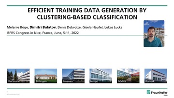
Efficient Training Data Generation By Clustering-Based Classification
Corresponding paper: EFFICIENT TRAINING DATA GENERATION BY CLUSTERING-BASED CLASSIFICATION
Auhor(s): M. Böge, D. Bulatov, D. Debroize, G. Häufel, and L. Lucks
Volume: V-3-2022 / 2022
https://doi.org/10.5194/isprs-annals-V-3-2022-179-2022

Landscape Of Neural Architecture Search Across Sensors: How Much Do They Differ ?
Corresponding paper: LANDSCAPE OF NEURAL ARCHITECTURE SEARCH ACROSS SENSORS: HOW
Auhor(s): K. R. Traoré, A. Camero, and X. X. Zhu
Volume: V-3-2022 / 2022
https://doi.org/10.5194/isprs-annals-V-3-2022-217-2022
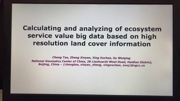
CALCULATING AND ANALYZING OF ECOSYSTEM SERVICE VALUE WITH BIG DATA BASED ON HIGH RESOLUTION LAND COVER INFORMATION
Corresponding paper: CALCULATING AND ANALYZING OF ECOSYSTEM SERVICE VALUE WITH BIG DATA BASED ON HIGH RESOLUTION LAND COVER INFORMATION
Auhor(s): T. Cheng, X. Zheng, X. Xing, and W. Su
Volume: V-3-2022 / 2022
https://doi.org/10.5194/isprs-annals-V-3-2022-187-2022
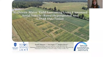
AI-Driven Maize Yield Forecasting Using UAV-Based Hyperspectral And LiDAR Data Fusion
Corresponding paper: AI-DRIVEN MAIZE YIELD FORECASTING USING UNMANNED AERIAL VEHICLE-BASED HYPERSPECTRAL AND LIDAR DATA FUSION
Auhor(s): K. Dilmurat, V. Sagan, and S. Moose
Volume: V-3-2022 / 2022
https://doi.org/10.5194/isprs-annals-V-3-2022-193-2022