News related to the test results
- The special issue (theme section) of the ISPRS Journal of Photogrammetry and Remote Sensing with a focus on our ISPRS benchmark test has been published, check here. We are grateful to all authors and reviewers making this special issue a very interesting one!
- Paper with first results and discussion accepted for the Melbourne congress: Click here
- ...the presentation slides can be downloaded here (long version)
Individual results:
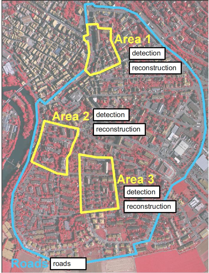
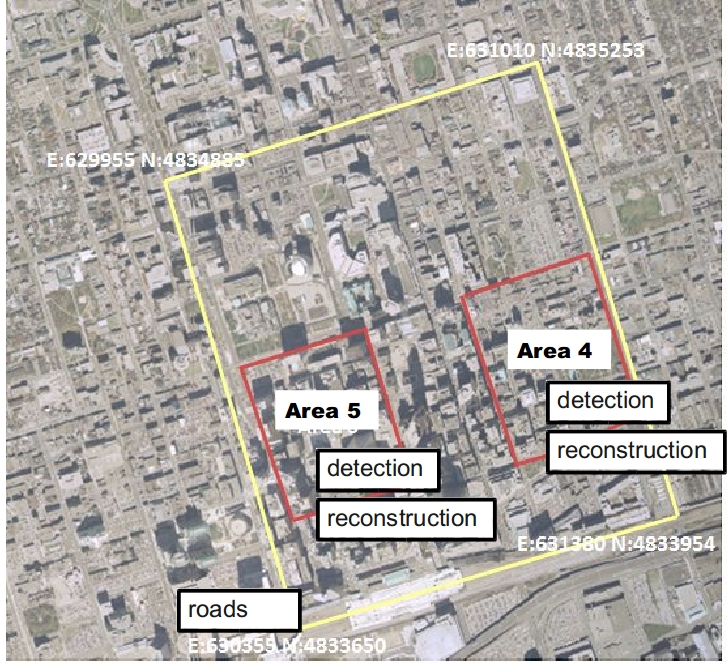
Click on the ortho photo: per area we have detection and reconstruction results, in addition roads per Vaihingen and Toronto. A general description of the evaluation measures is given in this document.
For the labeling challenge find the results in the left pane, or here directly:
Vaihingen labeling challenge 2D
Potsdam labeling challenge 2D
Vaihingen labeling challenge 3D
Vaihingen Results (Detection and 3D Reconstruction)

Toronto Results
