General Information
Purpose
This document describes a test data set prepared for use in the project AMOBE II (Automation of Digital Terrain Model
Generation and Man-Made Object Extraction from Aerial Images) being conducted at ETH Zurich between the photogrammetric
(IGP) and computer vision (IKT) groups. We are distributing this data with the purpose of providing a basis for
comparison and evaluation of image understanding techniques, in particular those dealing with the reconstruction
of man-made objects. Features of this data set include provision of the full photogrammetric information, four-way
image overlap and ground truth.
Dataset
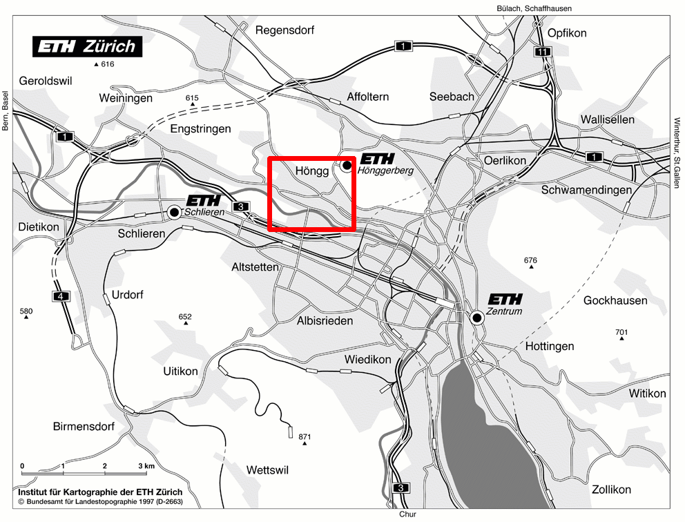
Fig. 1: Map of the environment of the aerial images of the Zurich Hoengg dataset
The dataset covers an area nearby the center of Zurich (Switzerland) and the ETH Hoenggerberg. The region
comprises the center of Hoengg, different residential areas with different types of buildings (flat roofs,
pitched roofs etc.), other man-made ojects like squares, bridges and streets, different kinds of vegetation
(forest, single trees, meadow, vineyard, gardens etc.), and the Limmat river.
- Photography
The Zurich Hoengg data set is based on aerial photography collected over Zurich in 1995. The data is based on a
2x2 image block collected over Zurich at an image scale of ca. 1:5000. The 23cm x 23cm colour photographs were
scanned at 14 microns giving colour images of about 840Mb each. This photography was flown ca. 1050 m over ground
with 65% forward and 45 % sideward overlap. The camera was a Leica RC20.
- Scanning
The 23cm x 23cm original colour diapositives of Zurich Hoengg were scanned at 14 microns at a Zeiss SCAI of the
Swiss Federal Office of Topography, Bern. One full photograph scanned at 14 microns produces images of (RGB)
about 840Mb!
- Files
The dataset consists of the following files and 4 cut-outs (due to the large image size only the cut-outs
are made available):
| Filename |
Description |
Format |
| 47008_2087.tif (i3.tif) |
Colour, scanned with 14 micro m, 842 MB |
Tiled Tiff |
| 47008_2088.tif (i4.tif) |
Colour, scanned with 14 micro m, 842 MB |
Tiled Tiff |
| 47009_2058.tif (i1.tif) |
Colour, scanned with 14 micro m, 824 MB |
Tiled Tiff |
| 47009_2059.tif (i2.tif) |
Colour, scanned with 14 micro m, 824 MB |
Tiled Tiff |
Table 1 Description of the files of the Zurich Hoengg dataset
Back to Main Page
© Institute of Geodesy and Photogrammetry, ETH Zurich