ISPRS test data Ziyuan-3-01 2017
Data Sets Region Stuttgart
Since its launch on 9th, January 2012, China’s first civilian high resolution stereo mapping satellite ZY-3 has provided a reliable stream of high resolution stereo image data. ZY-3 produces three line-array stereo panchromatic images (2.1-meter for nadir,3.5-meter for forward and backward) and 5.8-meter multispectral (red, blue, green, near infrared) imagery that can be combined in a variety of ways to accommodate a wide range of high-resolution imagery applications.
View more info on SASMAC (Satellite surveying and mapping application center, NASG). And the website is http://www.sasmac.cn/portal_space/ (In English)
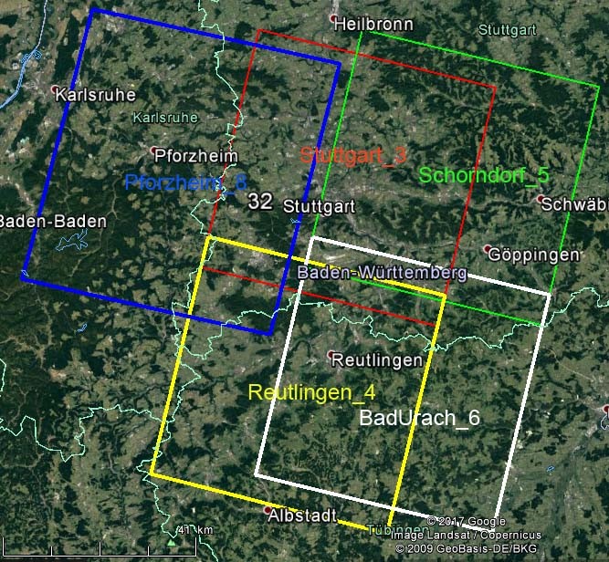
1. Frames in Google Earth
|
Extend: E 8.31° N 48.17° to
E 9.97° N 49.17°
Captured: Pforzheim: June 24th 2014
Stuttgart and Reutlingen: October 28th 2012
Schorndorf and BadUrach: December 01st 2012 |
|
Stuttgart
center: ˜ N 48.83° E 9.27° |
|
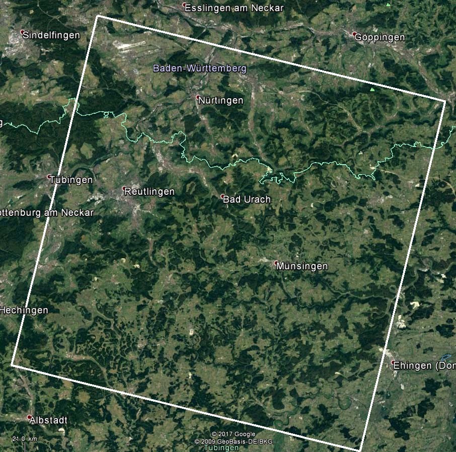
Reutlingen
center: ˜ N 48.46° E 9.11° |
|
Schorndorf
center: ˜ N 48.86° E 9.53° |
|
Bad Urach
center: ˜ N 48.44° E 9.40° |
|
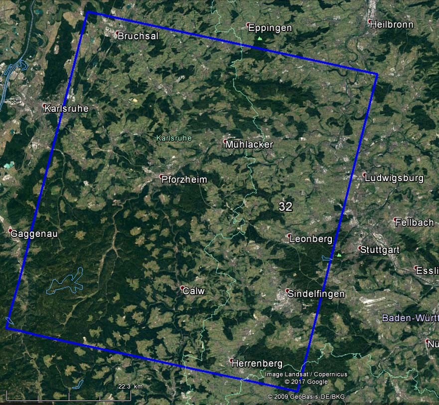
Pforzheim
center: ˜ N 48.85° E 8.77° |
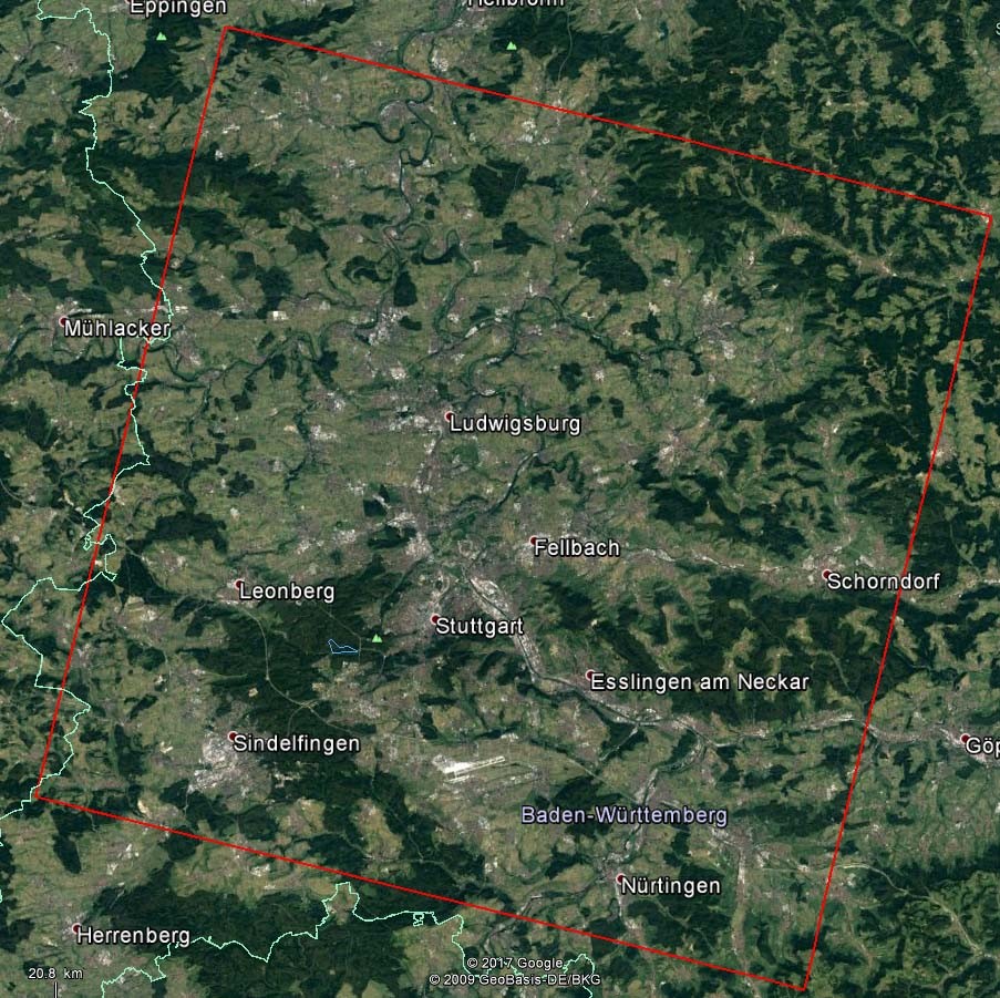
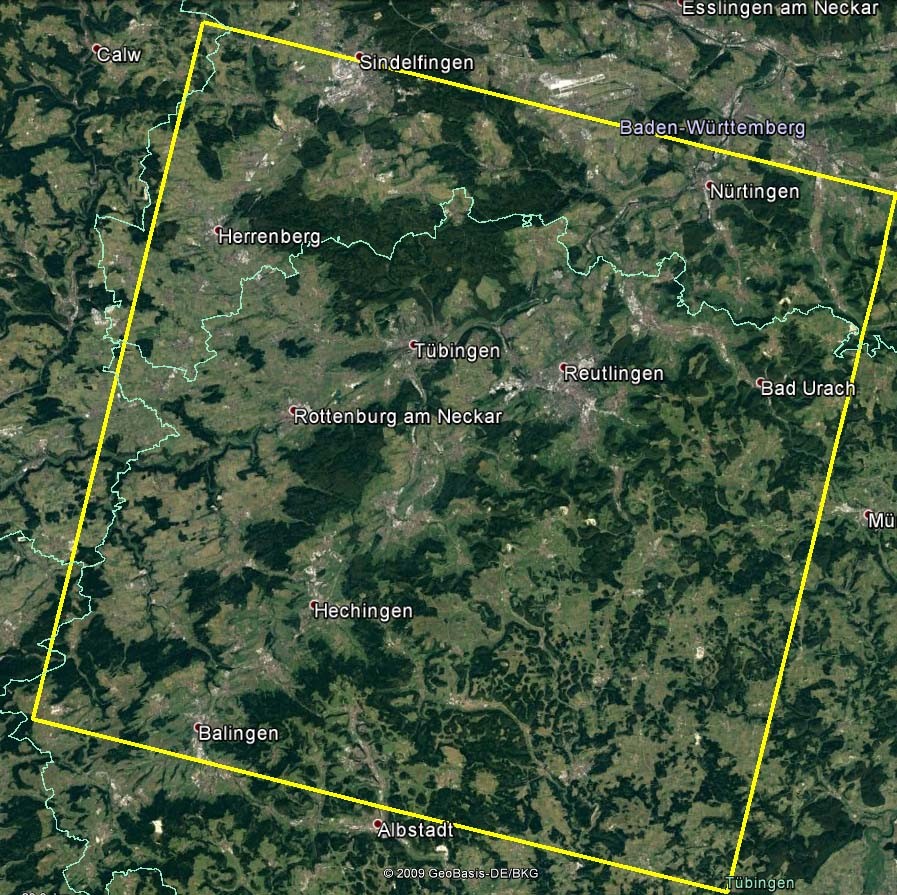
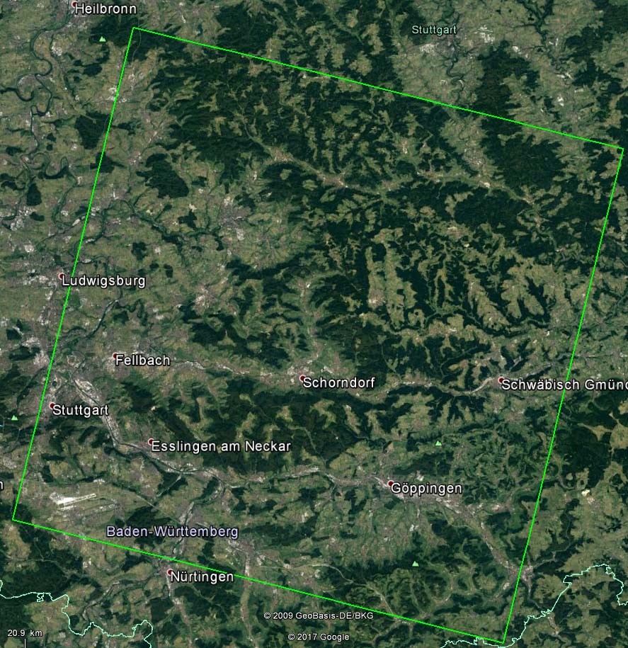
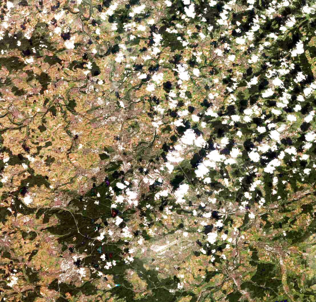
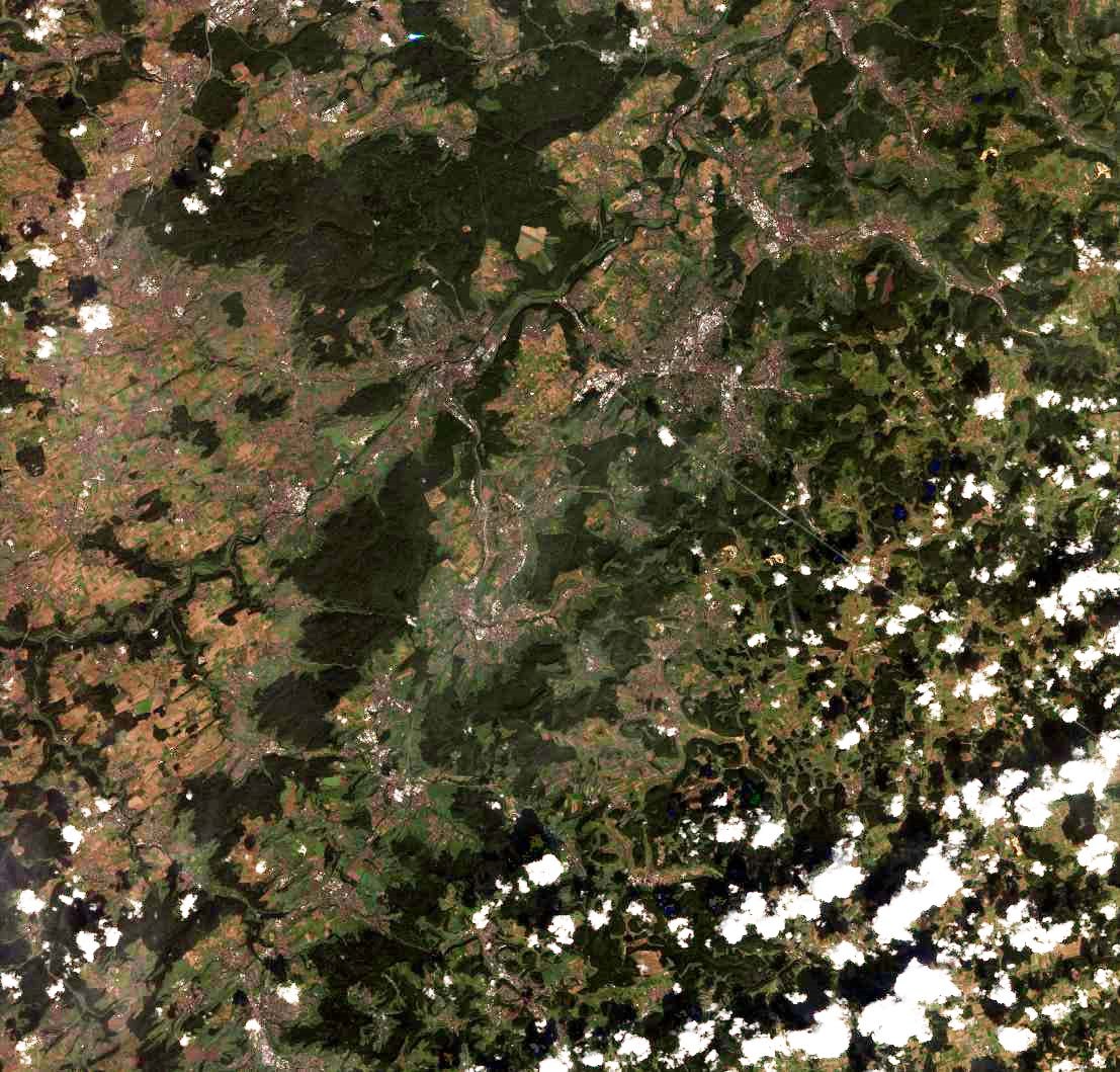
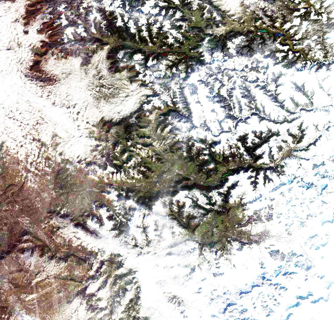
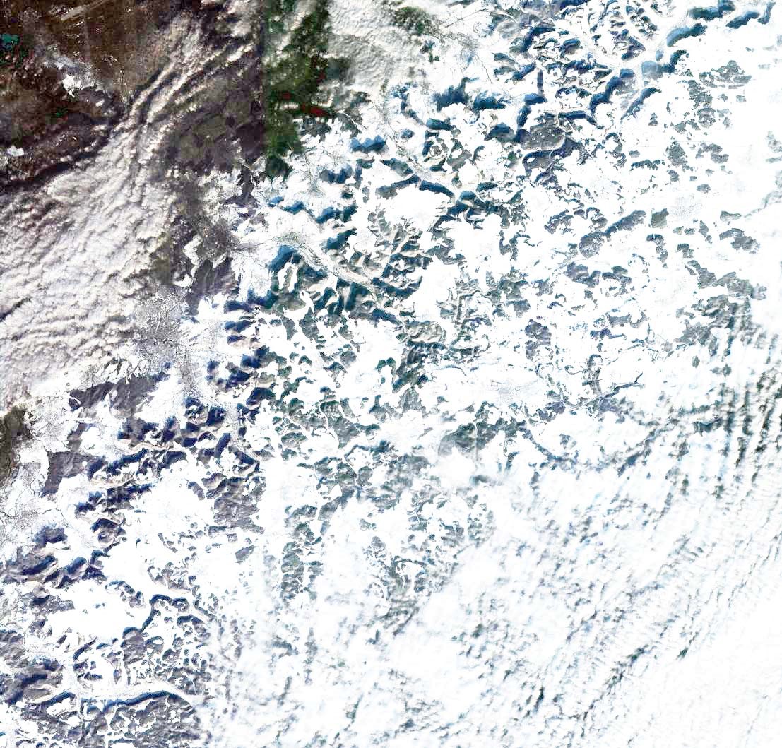
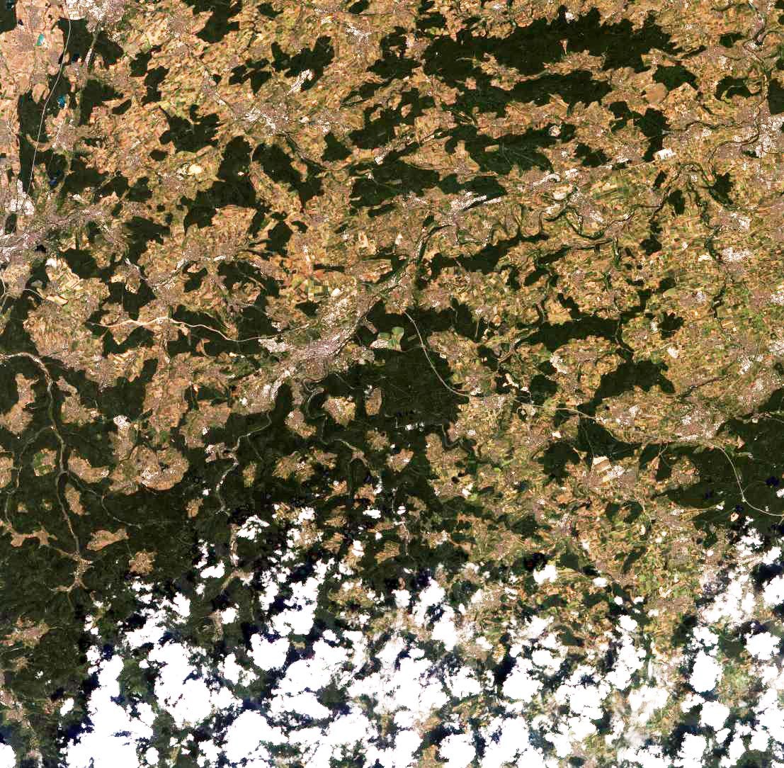
2. Ziyuan-3 overview images
|
| Stuttgart |
|
| Reutlingen |
|
| Schorndorf |
|
| Bad Urach |
|
| Pforzheim |
3. Files
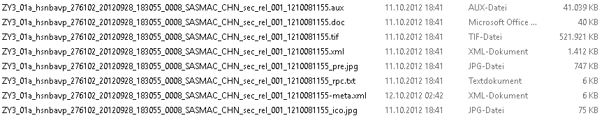
The files of the different scenes can be identified by the last digits before file extension e.g. the scene of file
ZY3_01a_hsnbavp_275102_20121201_183107_0008_SASMAC_CHN_sec_rel_001_12120422639.tif can be identified by 2639 within the available data set
Technical data of the images are available in the *.XML-files (ASCII) as corner coordinates, view direction, sun elevation and azimuth, imaging time . . .
                                          width    height    (columns    lines)

 bwd = backward, pan           3.5m GSD   24513 x ~19997 pixels
 fwd = forward, pan            3.5m GSD   24513 x ~19996 pixels
 mux = nadir, color, 4 bands   5.1m GSD    8820 x  ~8786 pixels   (blue,  green, red, NIR)
 nad = nadir, pan              2.1m GSD   24513 x ~23996 pixels
for any image usually 8 files are available as:
3.1. Stuttgart
 1155  bwd
 1031  mux
 1204  fwd
 1091  nad
Stuttgart dataset as rar package (˜ 1.5 GB)
3.2. Reutlingen
 1156  bwd
 1032  mux
 1205  fwd
 1092  nad
Reutlingen dataset as rar package (˜ 1.5 GB)
3.3. Schorndorf
 2639  bwd
 2577  mux
 2461  fwd
 2522  nad
Schorndorf dataset as rar package (˜ 1.4 GB)
3.4. Bad Urach
 2640  bwd
 2578  mux
 2462  fwd
 2523  nad
Bad Urach dataset as rar package (˜ 1.4 GB)
3.5. Pforzheim
 7533  bwd
 7734  mux
 7662  fwd
 7598  nad
Pforzheim dataset as rar package (˜ 1.3 GB)
© Sasmac
